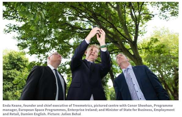
Treemetrics will use data analytics and satellite imaging technology to enable climate-smart forest management and forest carbon certification.
A new platform launched by Cork forestry software company Treemetrics will harness European Space Agency technology to bring greater transparency to forestry certification.
The firm will use data analytics and satellite imaging technology to enable climate-smart forest management and forest carbon certification through its new platform.
With consumers now demanding products that are sourced from environmentally-responsible producers and suppliers, forest certification has been an especially important initiative over the past two decades to promote better forest management.
Welcoming the announcement, Minister of State for Business, Employment and Retail, Damien English, TD, said: “Treemetrics is a fantastic example of an innovative Irish company using digital space data, that is freely available to all people living in Ireland through our membership in the European Space Agency, to ensure the sustainability of raw materials on earth.
“It is heartening to see Irish companies like this playing their part in helping to reduce greenhouse gases by utilising space-data innovation for forest owners in tackling carbon emissions.”
The leading global forest certification standard PEFC Global supported Treemetrics to ensure the system meets the needs of their certificate holders internationally. PEFC currently certifies 790 million acres of forestry around the globe.
Over the past 18 years, Treemetrics has worked in over 40 countries. Enda Keane, founder and chief executive, explained the global forest industry has a “huge challenge” to meet the growing demands for wood.
“We are delighted to be delivering a system that makes forest certification and forest carbon certification easier to adopt and more transparent for auditing,” he said.
“Forest Carbon offsetting is a rapidly emerging process that forest owners and large enterprises are utilising, to help reduce the levels of carbon in the Earth’s atmosphere. Investors are demanding quality carbon offsetting projects with new levels of data integrity.
“Satellite imagery and analysis tools have a major role to play in building trust in both forest carbon and sustainable forest management certification processes. Our goal was to deliver a technology solution to enable increased climate-smart forest management adoption. The system which was released today will help many stakeholders along the forest value chain,” said Keane.

