Forest Carbon
Forest Carbon
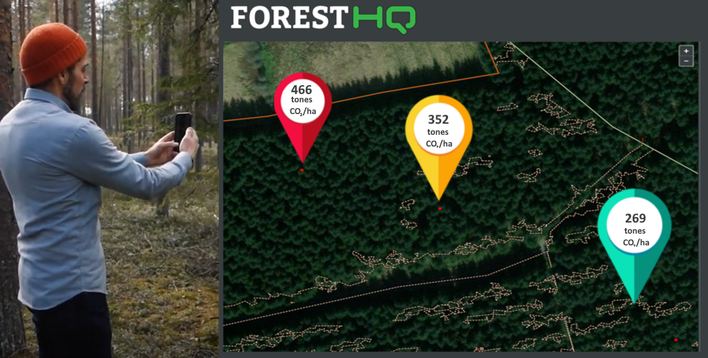
Step into the future of carbon measurement with ForestHQ. Unlock a new level of carbon monitoring, reporting and GHG removal quantification with our advanced system.
– Support for REDD+ and Agriculture, Forestry, and Other Land Use (AFOLU) projects.
– Methodologies approved by leading carbon standards.
– Effortless data collection and carbon quantification.
– Increased transparency, traceability and consistency in carbon stock measurement.
– Dynamic carbon monitoring with temporal capabilities.
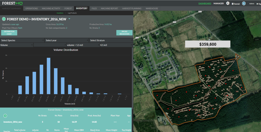
– Easy-to-read digital maps and comprehensive valuation reports.


Carbon Quantification
– Easy quantification of the forest carbon storage and removals
– Get the most accurate results with local biophysical models tailored to different tree species.
– Access to satellite data with different resolution
– Ground truthing through field stratification and collection of field inventory data
– Ensure accuracy and transparency of your data.
– Track growth and changes with ease using local biophysical models.

Forest Carbon Monitoring
– Get a birds-eye view with high-resolution satellite data.
– Analyze images like a pro with our image processing techniques.
– Analyze deforestation trends in real-time.
– Stay ahead of potential risks, such as fire and pests.
– Comprehensive risk management system.
– Historical analysis of forest changes
– Annual forest area status checks from remote sensing
– Early warnings of any potential risks, such as fire or deforestation.

Reporting
– Easy generation of reports with seamless digital reporting.
– Generate reports that are compliant with most carbon certification standards.
– Create custom forms and checklist
– Generate regular reports on changes in carbon stocks.
